


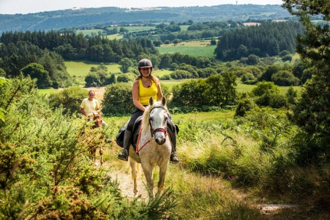


The Bois du C'Hleger loop
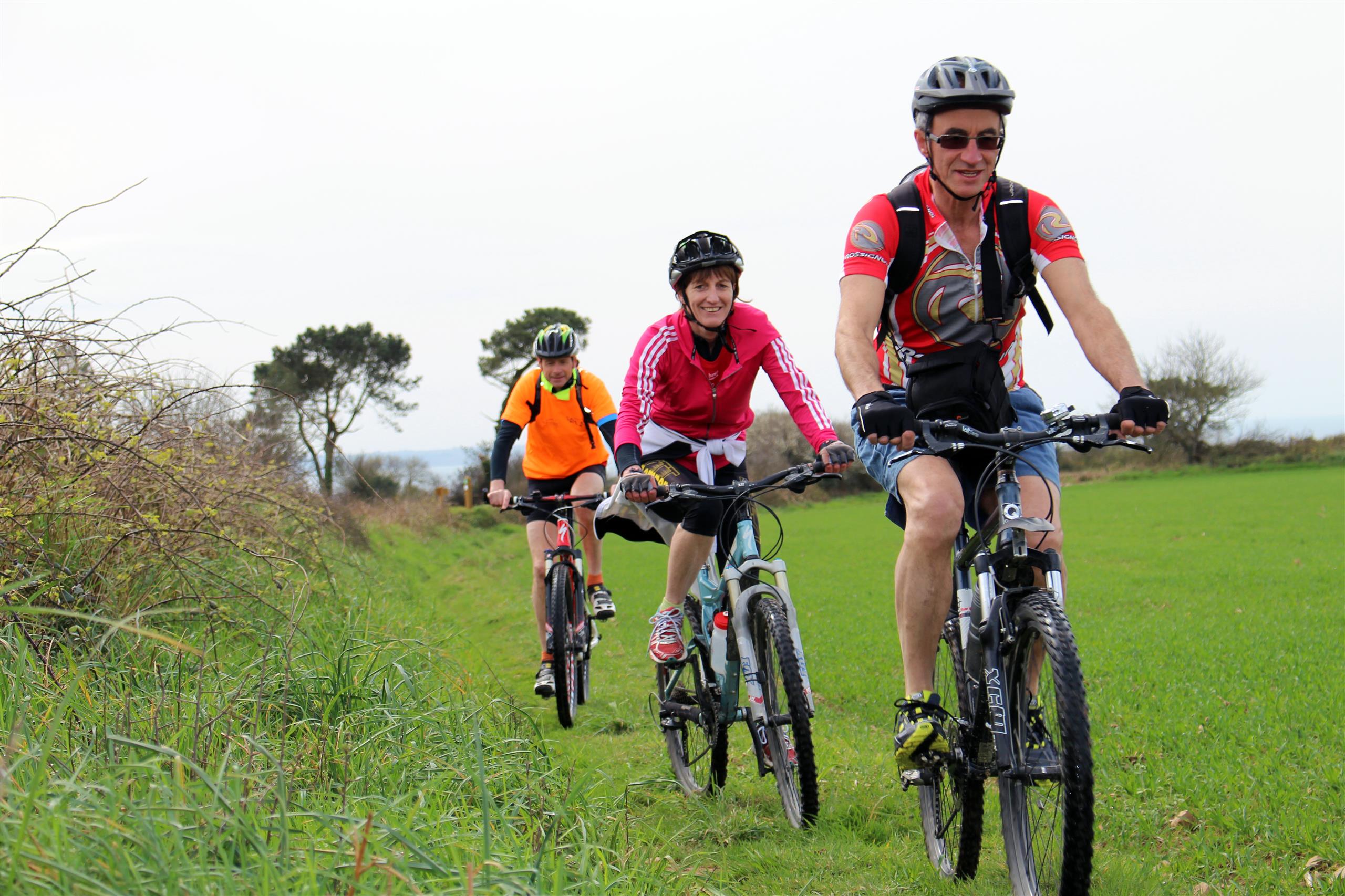
- MOUNTAIN BIKING
- 18 Km
- 2h
- Easy
- Loop
About us
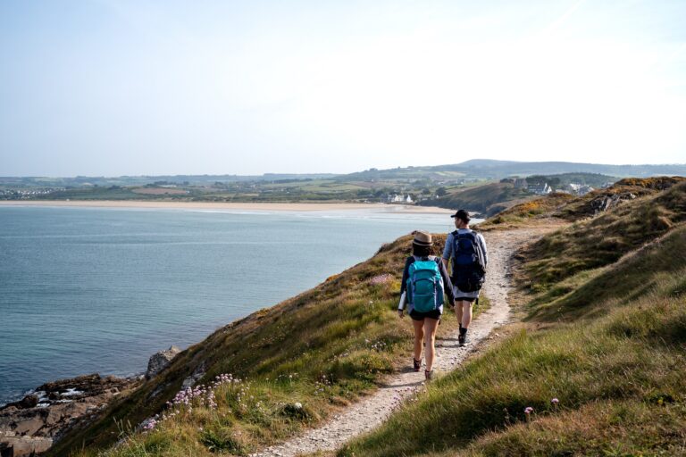
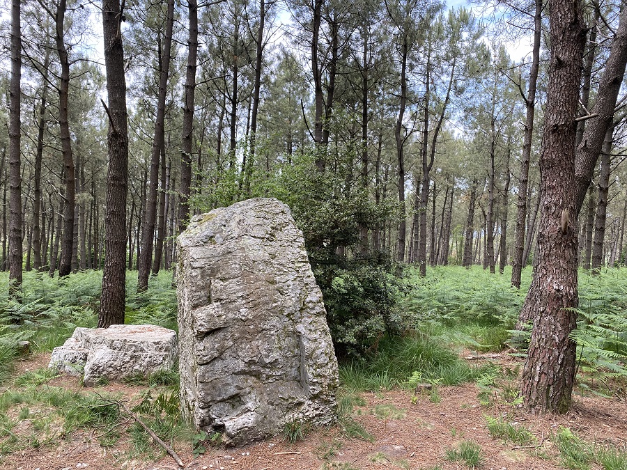
Head for the summits of the Argol "mountain"! You can set off from Argol church square, or from the hamlet of Saint-Jean en Saint-Nic... This circuit, between woodland and sea view, is highly varied and full of surprises... Will you come across any megaliths on your mountain bike outing?
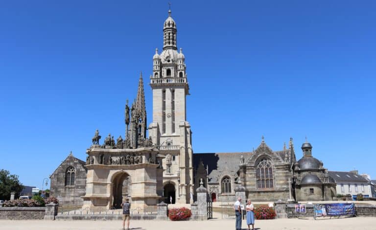
The start of this loop is in the center of Argol, right next to the enclosure and statue of King Gradlon.
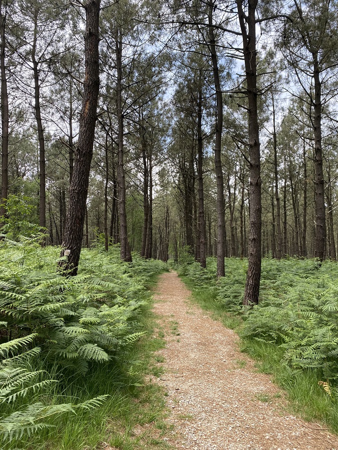
After the first kilometer, you enter the Argol forest. The route follows a sportive path through a beautiful (and restful!) pine forest.
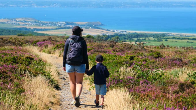
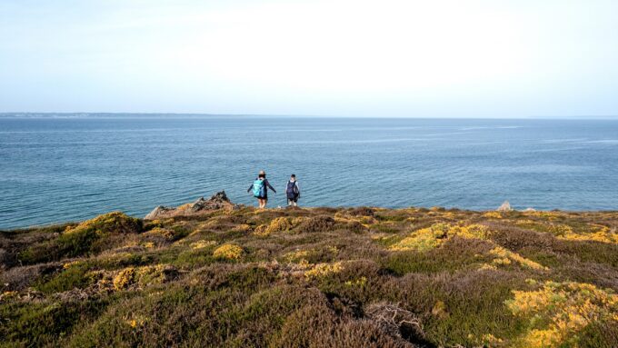
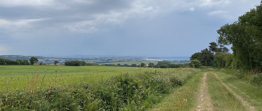
At the 5th kilometer, a panoramic view opens up over the Menez-Hom, as well as the beach at Pentrez... Wow! Here, the view allows you to admire two of the region's major attractions!
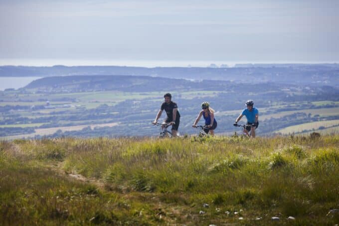
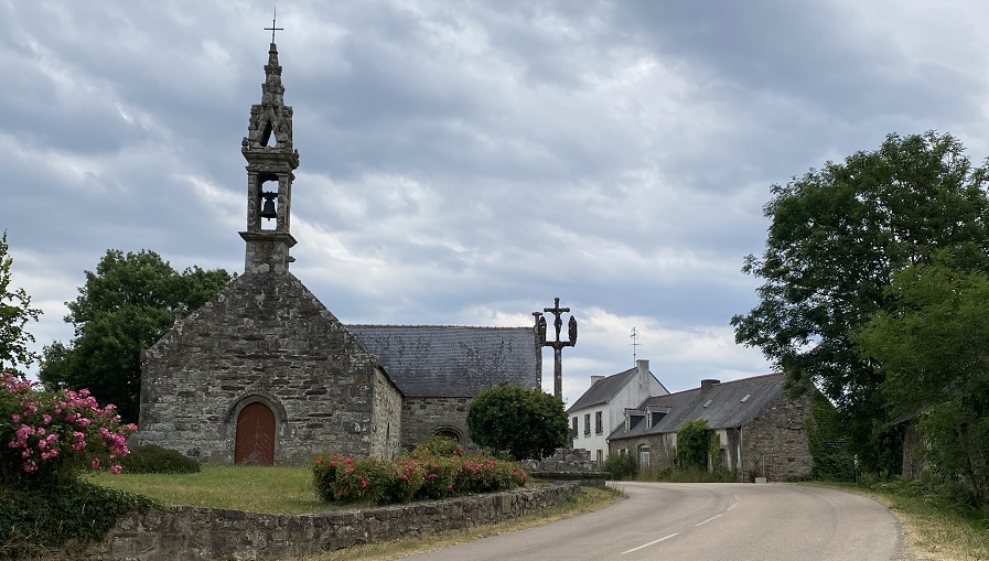
Then, the route takes us down a good three kilometers to the roadside chapel of Saint-Jean. It gets tougher! From the 8th to the 11th kilometer, a gradual climb reaches a gradient of 6%. As a reward, a pretty panorama opens up at Coathérel. But it goes on! A 1.3km climb with gradients ranging from 4 to 14%... After 13 kilometers, it's a "leg-breaking" ascent, requiring a great deal of effort management.
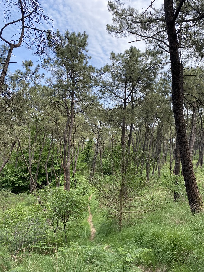
At some point, of course, you have to come back down and rest your calves... Once you've climbed this hill, you can enjoy a downhill run along the gravelled forest paths of the Argol communal forest. Return to the starting point in the village of Argol.
The summary from our tester, Léo:
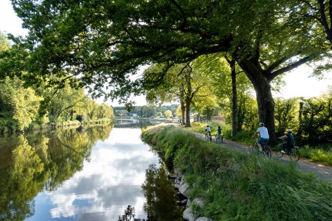
"This is a relatively affordable circuit for mountain bikes. Half the circuit is on the road, but it's still very pleasant to ride. You can admire beautiful landscapes, such as the Argol communal forest, ocean views and the unmissable Menez-Hom. Although the final ascent is difficult, the gravelled forest paths make this tour easy to ride. It is therefore accessible to all technical and physical levels. What's more, the route is very well signposted and maintained.