Want to disconnect and challenge yourself, with the ocean as a backdrop?
Between the Crozon peninsula and Douarnenez, Alexia tells you about our experience along the GR® 34 in Menez-Hom Atlantique.
So put on your hiking boots and follow us!
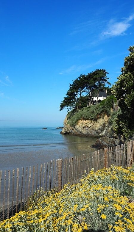
Caméros
Pors ar Vag - Plomodiern
Kervijen - Plomodiern
Kervel - Plonévez-Porzay
©Le Saint Photographie
©Le Saint Photographie
©Thibaud Poriel
©Thibaud Poriel
©Thibaud Poriel
©Thibaud Poriel
©LLD OTMHA
The famous GR® 34, formerly known as the "Sentier des douaniers", is one of the most emblematic Grande Randonnée® itineraries. It was even voted "France's favorite GR®" in 2018! This trail is easily identifiable by the famous white and red markers that line the route. This is thanks to the Fédération Française de Randonnée and its departmental committees, here in Finistère, who are responsible for the marking.
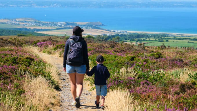
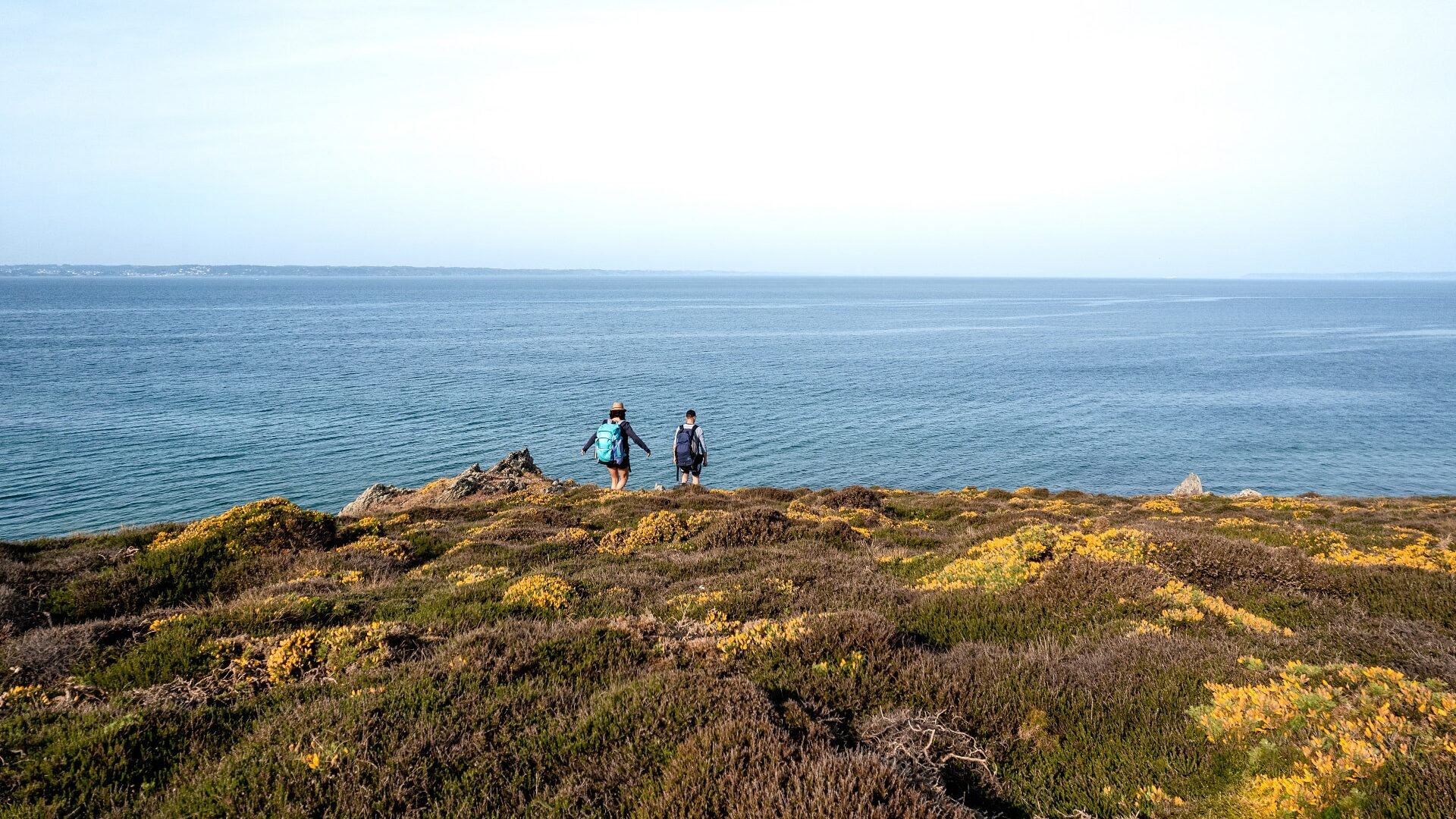
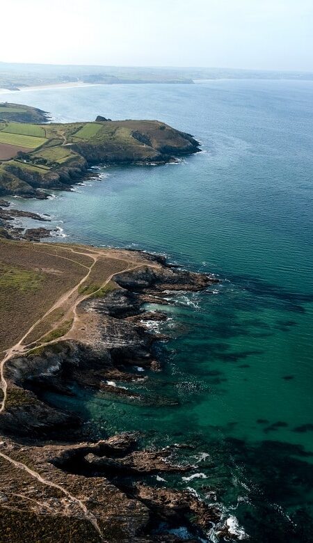
The Menez-Hom Atlantique is about 17 kilometers of iodized air, with exceptional panoramic views of the Crozon peninsula, the Bay of Douarnenez and the start of the Cap-Sizun coastline on the sea side, and the Menez-Hom, the Porzay plains and the Locronan mountains on the land side. Of course, these magnificent landscapes will reveal themselves to you according to the day's weather conditions!
Beware, the GR® is quite difficult in parts. The route cannot be improvised. For an unforgettable experience, you must not neglect the preparation stage. You can hike it in any season, but the best time is from late April to mid-October, when the days are longer and the flora more abundant!
Saint-Nic > Plomodiern
From Caméros to Pors ar Vag
In Menez-Hom Atlantique, you can start at Caméros, if you decide to follow the GR® from north to south. Caméros lies on the boundary between Porzay (Saint-Nic) and the Crozon peninsula (Argol).
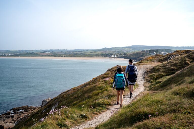
Caméros beach is a discreet beach, made up of a mix of pebbles, sand and rocks. But back to our hike! After an uphill start, on a stony path, you're taken through a semi-wooded section. Then the landscape opens out onto the famous Cap de la Chèvre. We're lucky enough to be able to admire both ends of the Bay of Douarnenez.
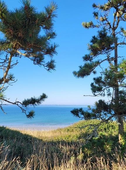
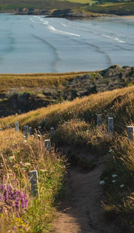
An even more wooded section gives us the impression of being alone, facing the ocean. It's a very pleasant sensation, with the trees on one side and the coastline on the other: a total sense of disconnection. As the route progresses, the landscape becomes clearer, and the "must-see" spots of our Menez-Hom Atlantique destination come into view, including "our" Menez-Hom. After 1.2 km, the path becomes steeper and stonier, then climbs again. Then we come to a path surrounded by pine trees, which cuts us off from the ocean for a short while.
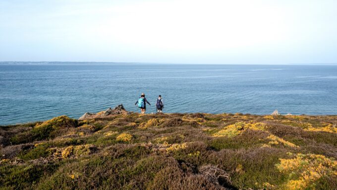
At 42 rue de la Falaise, there's a small path leading downhill. Take it to enjoy a magnificent, unobstructed view of the Bay of Douarnenez, including the beach at Pentrez. You'll have the impression of being alone in front of the immensity of the sea, discovering the region's emblematic points: Pors ar Vag, Tal ar Grip...
In the village of Saint-Nic, you'll pass a World War II-era bunker in a strategic position high above the village. Once you reach Pentrez, the atmosphere changes! Sand and dunes make way for the steeper terrain of Tar ar Grip. At Lestrevet, we can no longer use the GR® 34, as there is a risk of cliff fall: a detour by road has been set up to reach Pors ar Vag.
- 5.77 km, gradient 81 m
Plomodiern > Ploéven
From Pors ar Vag to Kervijen
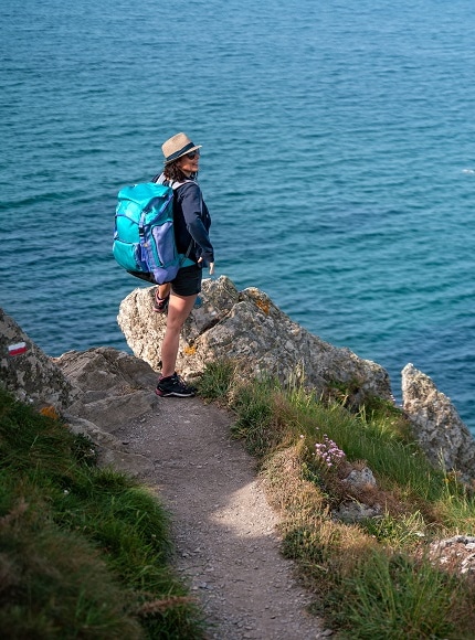
Now it's time for a much sportier part of the GR® ! Caution: the path is very steep and rocky, and therefore potentially slippery in wet weather.
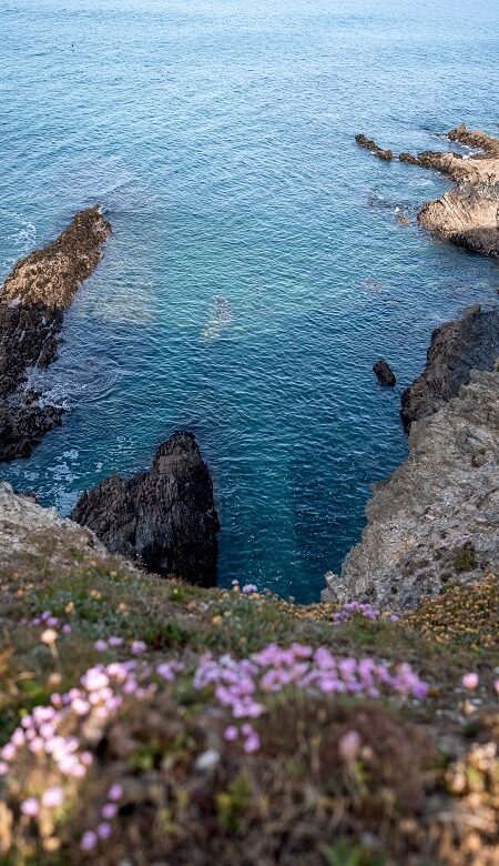
The ascent starts on the stairs to the south of Pors ar Vag beach. The route alternates between gentle ascents and descents. The path becomes increasingly rocky as you approach the former customs house (now private property). Faced with this endless horizon, you can hear the waves crashing against the cliffs, take in the sights and admire the different colors of the ocean, from slate to turquoise: you feel both small... and alive!
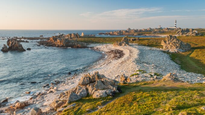
As we pass the Tal ar Grip headland, the terrain becomes gentler and we arrive at the cove of Ty Mark. Here you can hear the songs of seagulls and gulls, which have taken up residence in the cliffs and caves. From Ty Mark to Kervijen, the path becomes more pastoral, but as varied as ever in its surfaces, escarpments and different types of vegetation. On one section, you'll take a bypass of the GR®.
- 4.71 km, altitude difference 88 m
Ploéven > Plonévez-Porzay
From Kervijen to Kervel
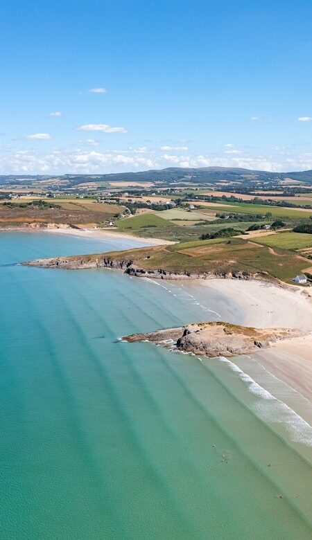
L'anse de Kervijen is both a quiet beach and a protected natural area, made up of marshes whose biodiversity is managed by the Département du Finistère. At low tide, on the beach, you can make out the remains of a shipwreck... amazing! We cross a footbridge over the stream that separates the communes of Plomodiern and Ploéven.
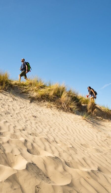
Between Kervijen and the pointe de Ty Anquer, a short bypass avoids the risk of cliff collapse. It's a pleasant walk through this short wooded section, and the return trip close to the ocean is all the more enjoyable! On the way down to Ty Anquer beach, you can make out Salgren Island, which is accessible to walkers at low tide. A change of atmosphere at Tréguer beach in Plonévez-Porzay! Make way for the dunes, their characteristic vegetation and that unmistakable sweet smell...
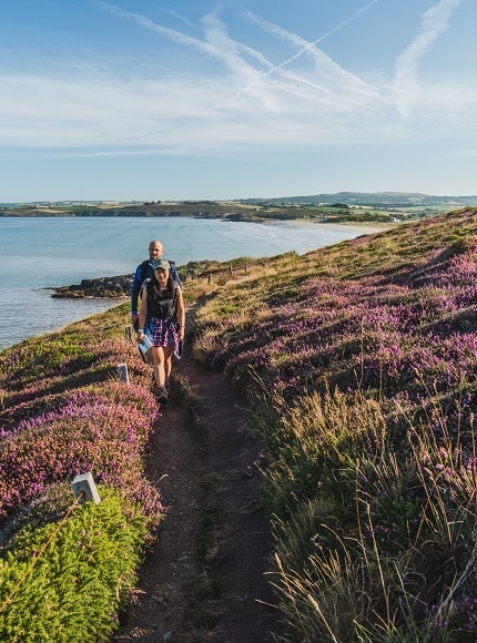
The route runs gently along the Sainte-Anne beach to Tréfeuntec. Once you've crossed the bottom of the cove of the same name, the route becomes much more difficult, and we advise hikers to exercise extreme caution. Indeed, the pointe de Beg an Ty Garde has to be earned! This unique relief and exceptional panorama make you feel like you're at the end of the world. So open your eyes and lungs and enjoy the view and the fresh, iodized air! Between Beg an y Garde and the pointe de Tréfeuntec, the route is still of a difficult level, over rocks, between slopes, descents and a sometimes narrow path.
Then off to Kervel! On this stretch, the view is even more breathtaking over the town of Douarnenez, as well as Ile Tristan.
- approx. 7 km, 87 m gradient
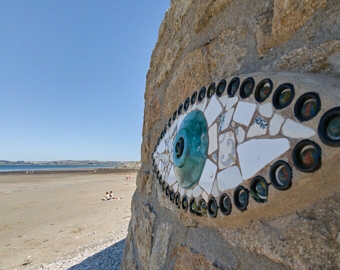
An artistic and poetic tribute
The eye of Pierre Chanteau
Created by Pierre Chanteau, these works of art in glass and earthenware are dedicated to the men and women who rescued the sailors. These "eyes" can be seen and admired along the GR 34 in Caméros, Pors ar Vag, Ploéven and Plonévez-Porzay. Other works by this artist can be seen in other parts of Menez-Hom Atlantique: in Dinéault and Trégarvan.

browse the gr® 34
How would you sum up our Menez-Hom Atlantique itinerary? You'll be amazed by the diversity of landscapes, from rocky coasts and cliffs to moors, dunes and marshes, and the colorful palette of the cultivated plains of Porzay... So which atmosphere do you prefer: the softness of the dunes or the character of the cliffs?
Photo credits: ©Le Saint Photographie, ©Thibaud Poriel, ©AG OTMHA, ©LLD OTMHA, ©Vincent Edwell.

