


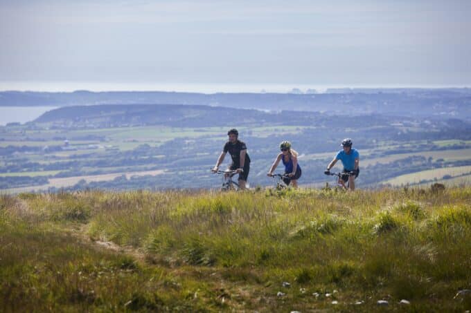


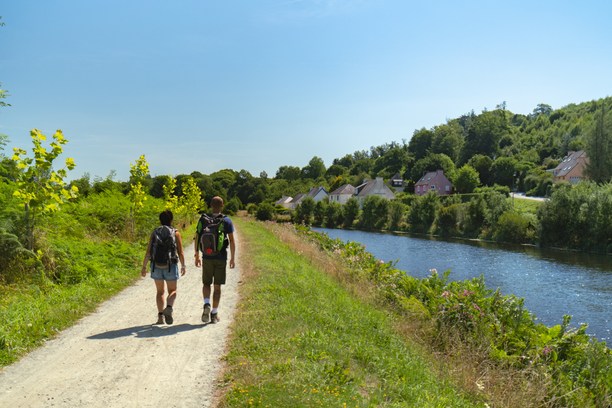
The Nantes-Brest canal - Châteaulin
- Pedestrian
- 12 Km
- 3h
- Medium
- Loop

About us
The 12 km "Le canal de Nantes à Brest" hike starts from the parking lot of the old Châteaulin railway station, on the road to Pleyben.
Head north along the Nantes-Brest canal. The route follows the old Châteaulin-Carhaix railway line.
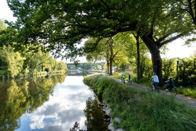
At Roz Lezbannec, turn right, then right again towards the farm of the same name. Cross this hamlet and continue along the old Roman road, a wide gravel path now known as "l'allée verte". Take care when crossing the Départementale 887, as traffic is heavy. Go down the Grand-Rue and, at the lycée Saint-Louis, turn left. Cross the Quimil farm down to the canal. Turn left along the towpath to reach the Coatigrac'h lock.
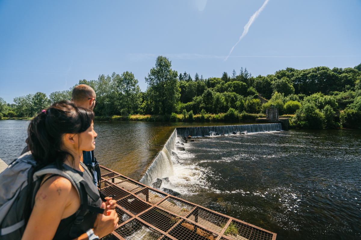
Continue along the Aulne to reach the entrance to Châteaulin. At the last bend in the river, take time to observe the landscape and discover the "Collines Bleues", once a slate-mining site. From the town center, return to the old railway station via the Kerstrat alley.
During this excursion, we will have travelled both the route taken by locomotives on the old railroad line, and the route taken by horses on the old Aulne towpath!