
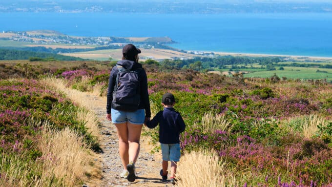


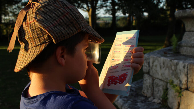

The Aulne circuit - Lothey
- Pedestrian
- 11.5 Km
- 3h
- Medium
- Loop
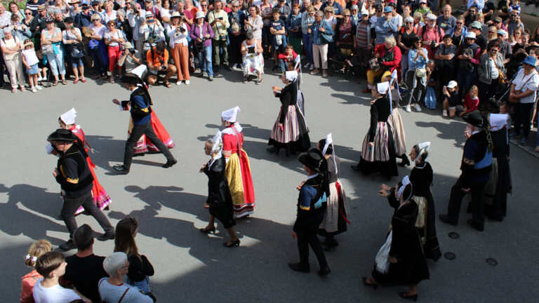
About us
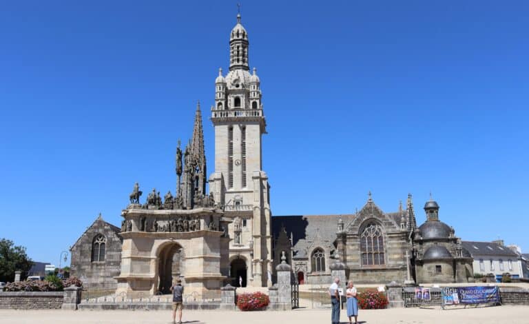
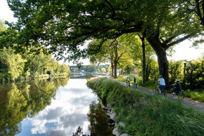
Discover a picturesque route along the backwater of the River Aulne, lined with locks and lock houses. The start of this 11.5 km hike is at the church parking lot in the center of town, built between 1895 and 1901, with a beautiful Pièta in its placître.
Head north towards Vieux-Bourg. After approx. 400 m, passing the town hall, turn left towards Kerével. Then, turning right, you'll reach the Aulne lock at Pennarpont, numbered 232 and dating from 1828.
Did you know? The bed of the River Aulne meanders for around 140 km through picturesque valleys, forming graceful meanders and offering enchanting panoramas, home to remarkable biodiversity.
Continue along the Aulne backwater, passing the Guillec lock (n°231), then the Tréziguidy lock (n°230). Tréziguidy was once a powerful barony dating back to the 9th or 11th century, with jurisdiction over 27 villages in Pleyben, Lothey and beyond . The ancient castle of Trésiguidy is now known as "Maner Coz" in local toponymy. It's easy to see the strategic importance of this ancient seigneury's proximity to the river. [ source : Maurice Cornec, L'ancienne baronnie de Tréziguidy ]
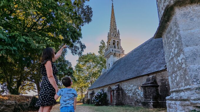
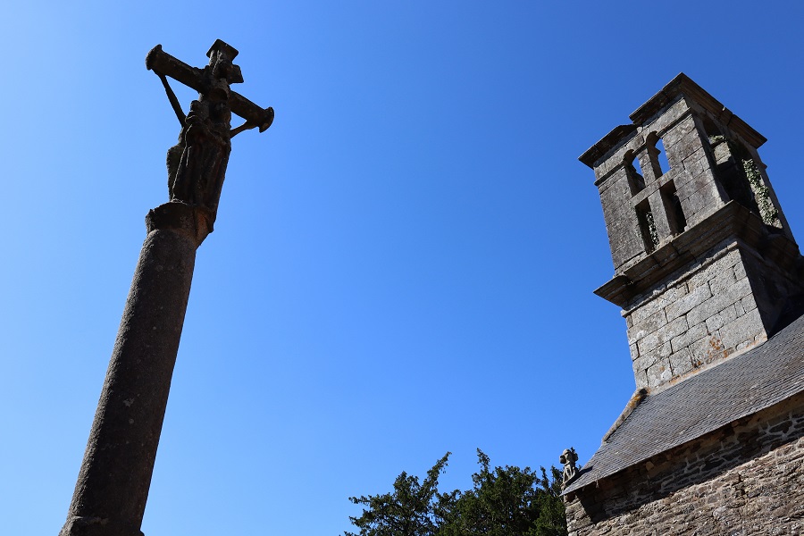
After leaving the counter-harbour, return to the Vieux-Bourg along a wooded path followed by a road. This charming district was once the heart of the commune, with its parish church dedicated to Saint They, dating from the early 17th century, until 1846, when the chief town of Lothey was transferred to the village of Landrémel. A granite cross, depicting the Virgin and Child on the reverse side of the Crucifix, adorns the placître.
Follow the itinerary, alternating between hedge-lined paths, stretches of road and farm tracks. Return to the starting point on the same municipal road. Enjoy a walk rich in history and charm along the River Aulne!