


Les Collines Bleues
- Pedestrian
- 5 Km
- 1h40
- Easy
- Loop
About us
From slate quarries to undergrowth, and along the old Châteaulin-Carhaix railroad line, you can imagine the origins of the town:
- with its economic resources generated by the Aulne and slate quarries
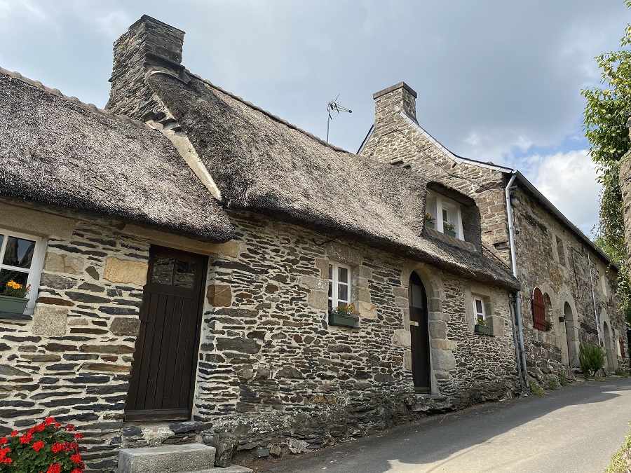
- its strategic position in the middle of communication routes (river and railroad) and its historic location in the heights of the Vieux-Bourg.
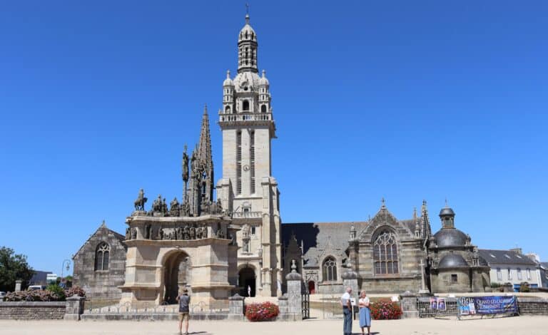
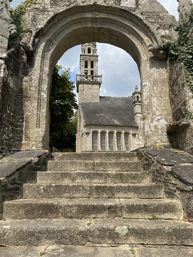
We love ... the Notre-Dame chapel, a jewel of religious heritage!
Here are the points of reference for your route:
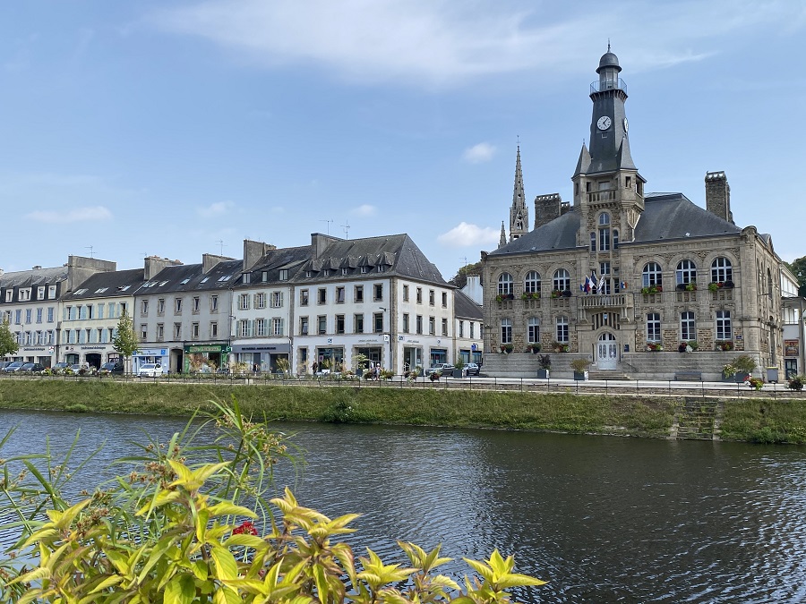
- Start quai Cosmao in Châteaulin
- Go up the venelle du Garrec
- Chapelle Notre-Dame
- Rue du Vieux-Bourg
- Pass under the Quimper-Brest railroad
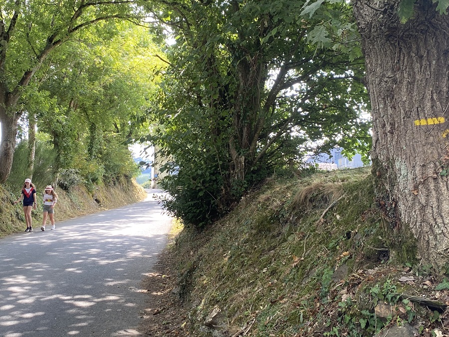
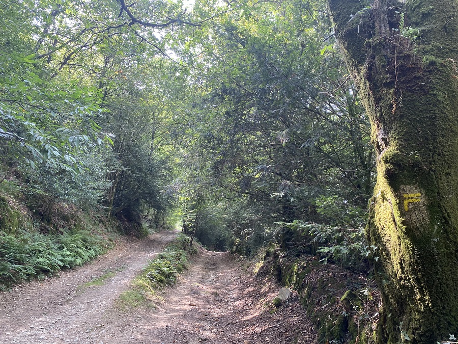
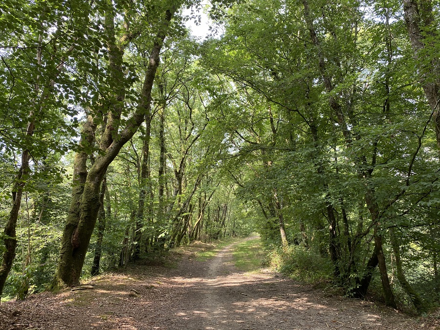
- Stone path
- Prat Aval
- Route départementale 7, cross with great care
- Opposite, old Châteaulin-Camaret railroad for 2 km
- Rue Rostomic bridge (superb viewpoint!)
- At the traffic lights, cross Rue Graveran
- Rue des Trois Frères Blaise
- Chapelle Notre-Dame
- Rue Notre-Dame > left on Quai Carnot.
This hike is rated as "easy" because of its 5 km distance; however, the gradient is quite steep in some areas and some passages are quite steep and stony.