


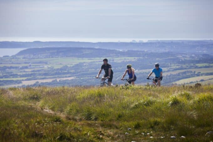

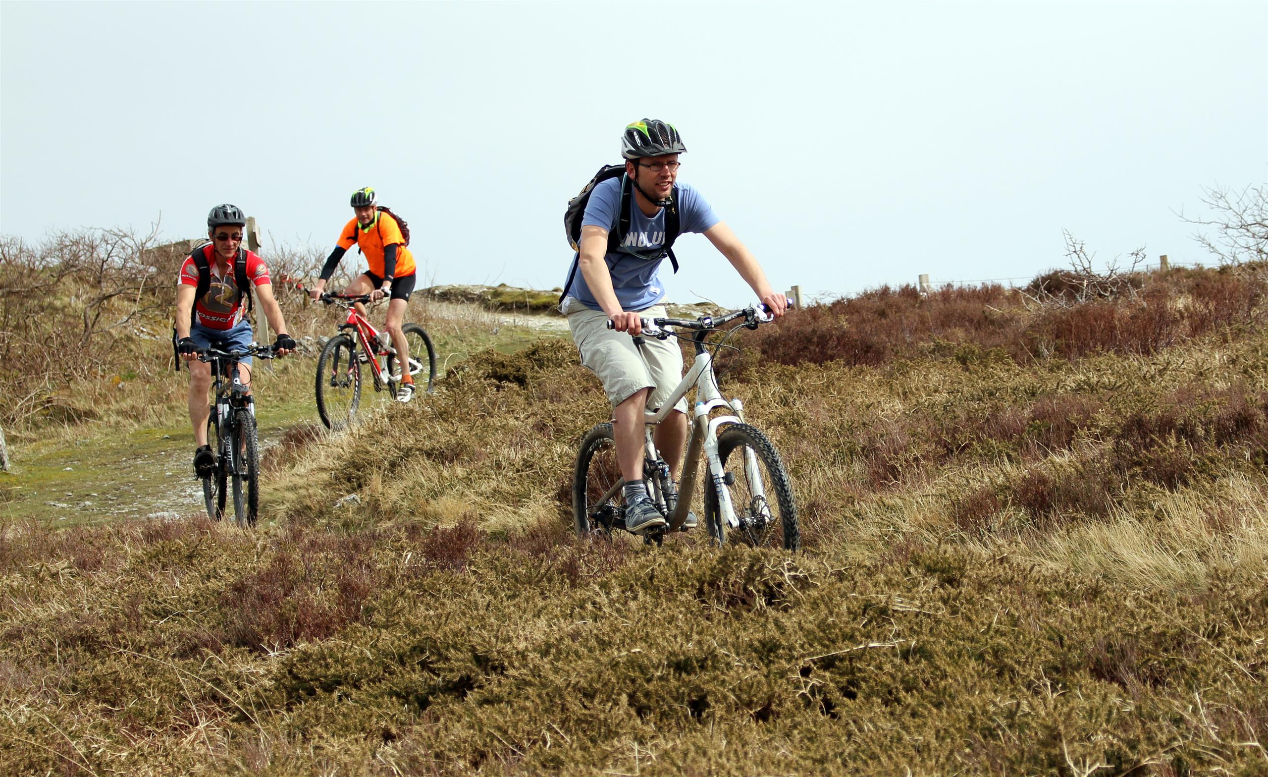
Boucle de Menez-Yann (MTB) - Plomodiern
- MOUNTAIN BIKING
- 9.5 Km
- 1h30
- Easy
- Loop
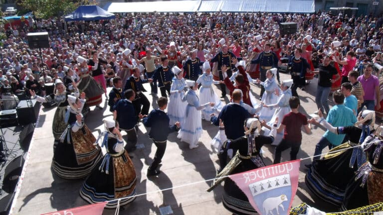
About us
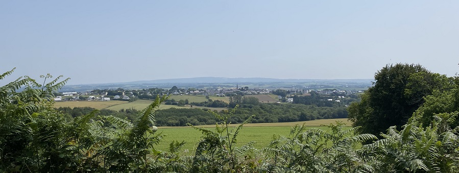
Leaving the village of Plomodiern at Place de l'Eglise, head for the northern countryside of the commune, on the first slopes of the famous Menez-Hom... This circuit offers beautiful views over the Bay of Douarnenez. On the way back, you'll follow part of the old railroad line.
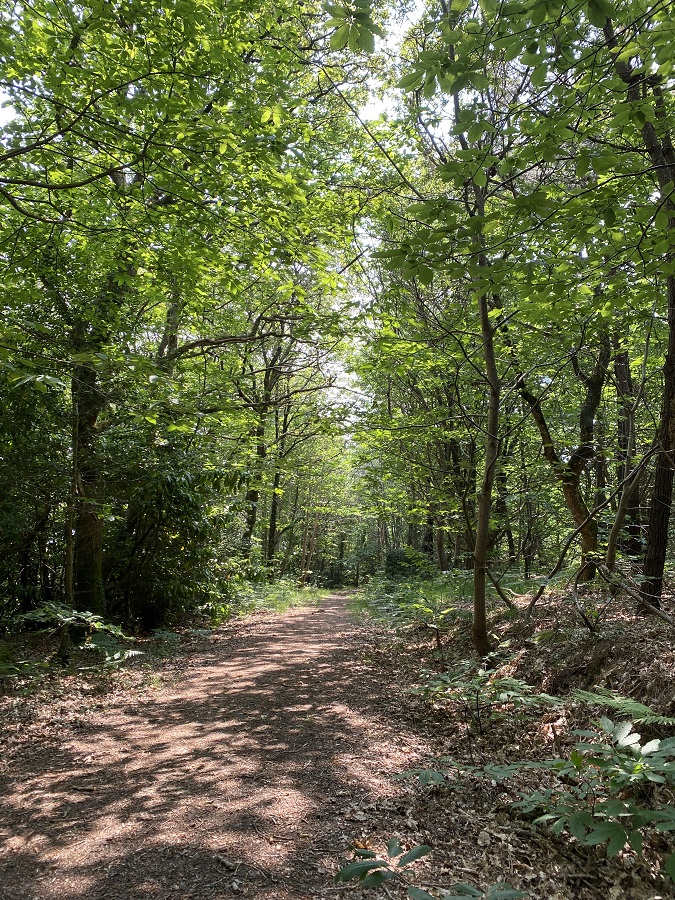
Following the signposts, the circuit starts on the road and after the first kilometer, the route continues on a passable farm track. From here, a fairly long climb of around 1.3 kilometers begins on this wooded road. Ideal for cooling off while riding and taking advantage of the small shady sections! The climb immediately sets the tone for the tour: short.... but intense! In fact, this first climb has a gradient of between 3 and 10%, which is great for warming up the legs!
At the top, it's a road, with a superb view during the 1.8 km descent. Bonus: a panoramic view of the whole of Plomodiern! Phew, this good descent allows you to recover from the hill!
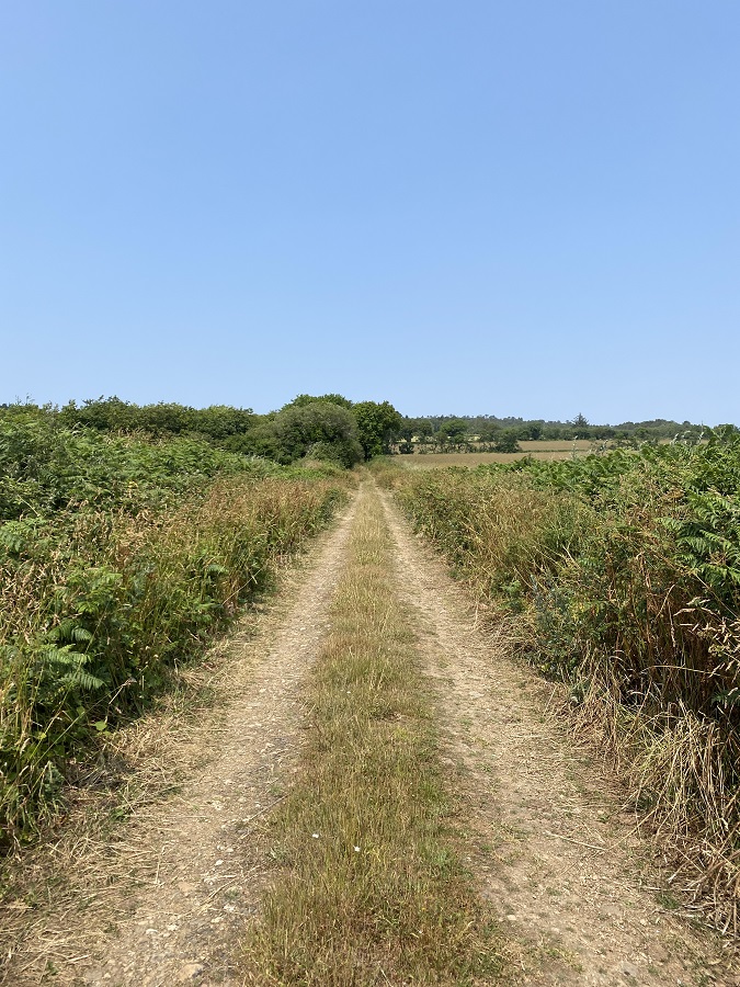
Just after this descent, the circuit catches up with a pretty track in the middle of fields: how quiet! After taking advantage of this, the route takes you to the second difficulty/hill of the course: a mixture of road and path over 1.15 km, navigating between 2 and 8% gradient. Once at the top, a lovely downhill trail awaits you, playful and pleasant to ride. Under the trees, it allows you to catch up with the path of another circuit: that of "Tal Ar Grip", leading you directly to the place known as "Saint-Sula" (caution, not very explicit signposting, in the process of being treated...).
After this, a pleasant path leads you under the trees. You reach the heart of Plomodiern via a slight false flat...
The summary from Léo, our "tester"! :
"It's a short circuit... but intense! It's well maintained, and doesn't require any particular driving technique, which makes it accessible to everyone. It's very rolling, despite the low percentage of road. Trails dominate. It's also very restful and green - how quiet! I even came across a little fox cub and a few ducks! The gradient of the circuit is not difficult. My advice? Take your time and enjoy the scenery on the climb up the side of Run Vras (249 m altitude)!