

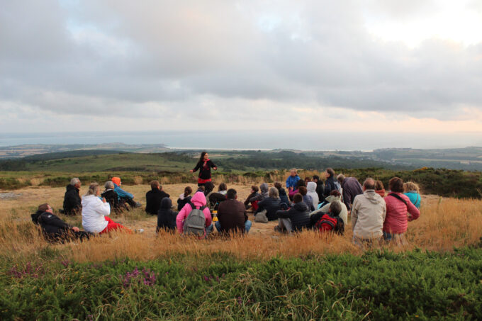


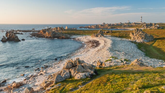


La Roche du feu
Why take advantage?
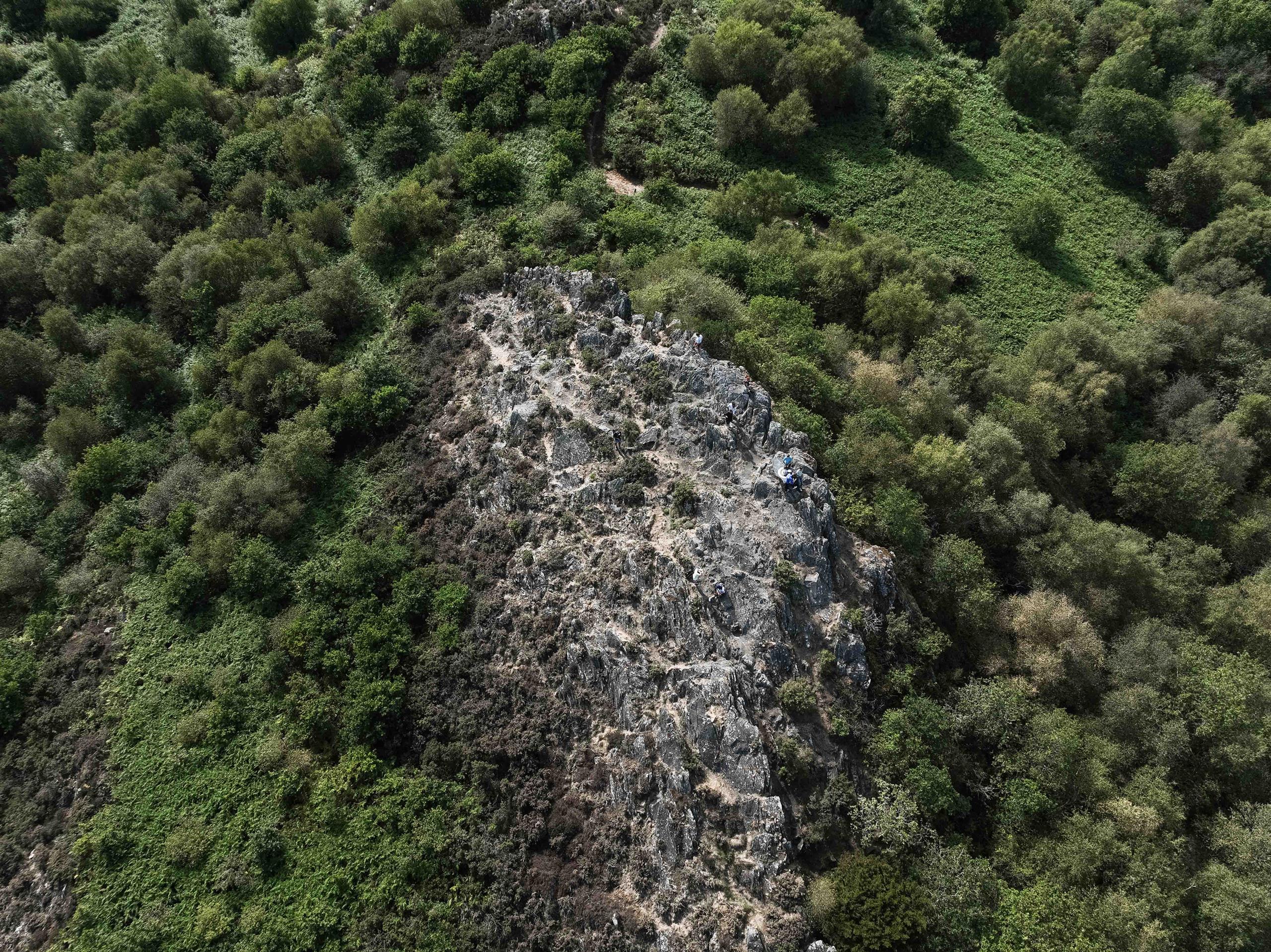
281 m - 360° view.
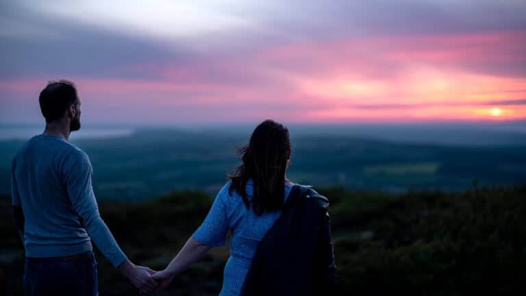
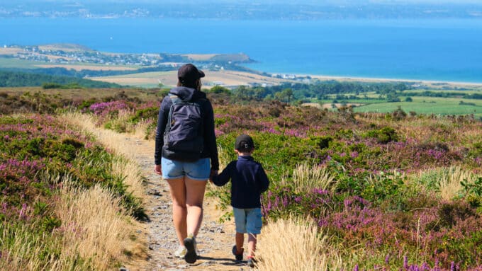
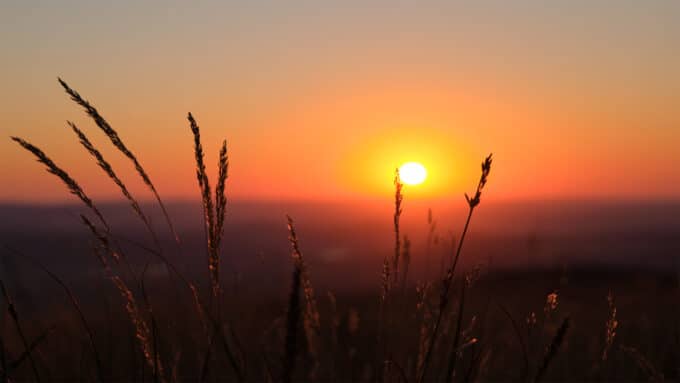
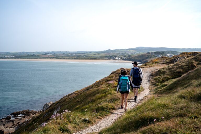
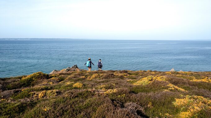
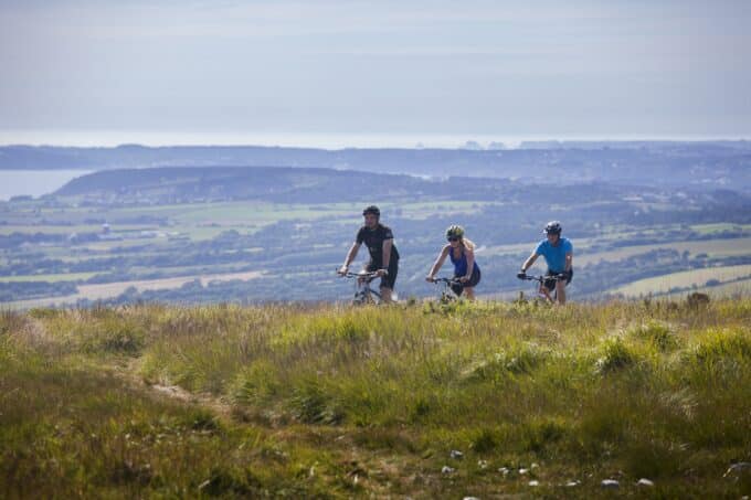
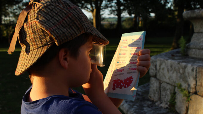
Climb to the summit and you'll discover an exceptional panorama of the Monts d'Arrée, the Aulne valley and the Bay of Douarnenez. As the seasons change, this magnificent landscape of meadows, plains and streams takes on different hues: green, yellow, golden, brown... The palette is impressive! On this rocky chaos, you feel a little like the master of the world! A quick glance at the 360° orientation table gives you the keys to understanding this landscape... On a clear day, you can see 33 bell towers within a 40 km radius. Okay for the rock, but what about the fire? During the Norman invasions, to warn of the Vikings coming up the Aulne to plunder the interior of the country, a lookout alerted by a fire lit at Menez-Hom would light one in turn. This blazing pyre could be seen throughout the Aulne valley. It was at this time that the summit inherited its name "Karreg an Tan", literally "Roche du Feu" in French. To discover this magnificent site, take the PR®44 - La montée de la Roche du Feu" (5 km - 2h).
Spoken language(s)
- French
La Roche du feu
Fire rock29190 Gouézec